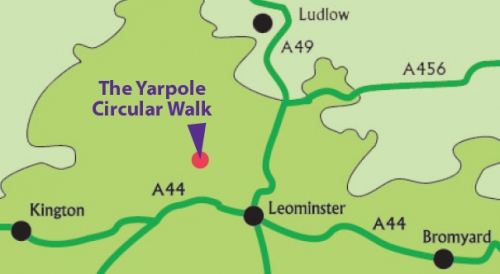
Yarpole circular walk
Distance 5 miles / 8 km
Walk information
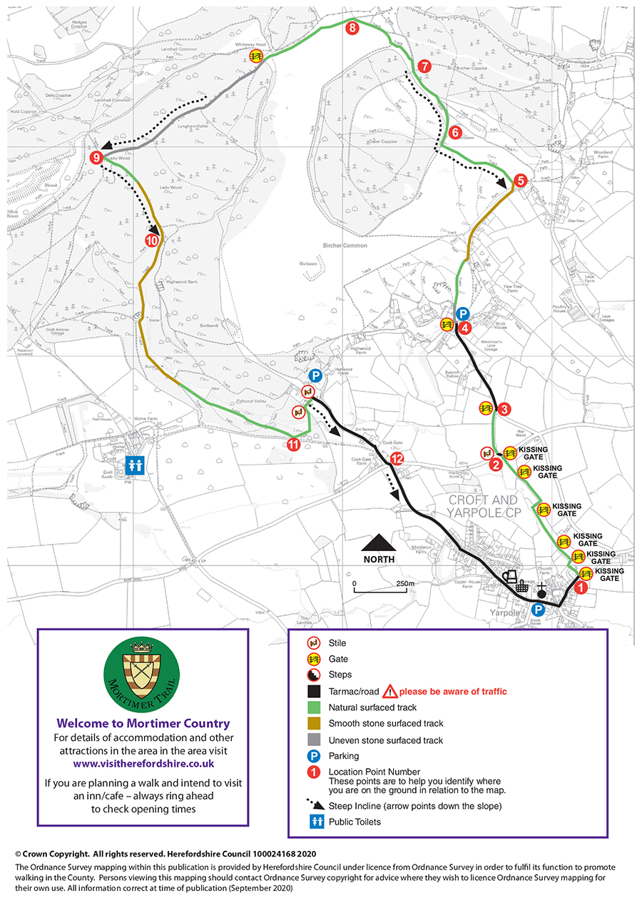
 Stiles: 3
- Gates: 9 (including 6 kissing gates)
- Steps: 0
- Narrow bridges: 0
- Slopes: Many steep, undulating between points 4 & 5 and 10 & 11 on the map
These features and the terrain are shown on the Yarpole circular route map.
Download the Yarpole circular walk leaflet
Parking
There is limited on-street parking in Yarpole (however please ensure there is enough space for farm vehicles to pass through the village). There is also parking (charged) at Croft Castle when open.
Refreshments
Refreshments can be obtained from Yarpole village shop, situated at The Bell Inn, as well as Croft Castle tea room (seasonal opening, times vary). Please check opening times and booking requirements before setting out.
About Yarpole and Bircher
St. Leonard’s Church in Yarpole is one of six Herefordshire Churches having an unusual, but county-distinctive, detached bell tower dating back to 1332. These towers are often strongly built with thick stone walls and are thought by some historians to have doubled up as places of refuge or safety when the village was threatened.
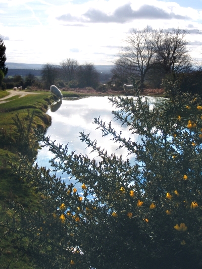 On the southern side of Bircher Common there are three large enclosures. This route takes you to the east of these. They are thought to represent stock and farmstead enclosures dating from the Iron Age indicating that this area has been farmed for over 2500 years.
Within the wooded areas of Oaker and Bircher Coppices and Lyngham Vallet there are remains of circular, levelled platforms once used for charcoal burning. Charcoal making was a widespread local industry from the medieval period through to the 18th century. Charcoal was made from carefully managed coppice woodlands and involves ‘burning’ wood under managed conditions and using a minimal amount of oxygen. Charcoal was used as a fuel in many other industries including iron making and firing pottery kilns.
Coppicing is a sustainable woodland management technique practised ever since our ancestors could first cut trees down. Most native broadleaf trees will regrow from the base or ‘stool’ when cut down. Coppicing utilises this and by rotational cutting on different length cycles the resulting material can be used for many different purposes. Coppicing also revitalises the flora and fauna that a woodland can support and is being used more and more as a method of helping conserve native wildlife such as dormice, butterflies and orchids.
Route map for Yarpole circular walk
This route is managed by Balfour Beatty Living Places on behalf of Herefordshire Council.